Home » Watershed Plans » James River Watershed Management Plan

The James River is one of Southwest Missouri’s most historic and iconic rivers. Long before Table Rock Lake and Lake Taneycomo were dammed, the James River flowed 150 miles from its headwaters in Webster County to Table Rock Lake, supporting farms, wildlife, and the people living there. Early settlers relied on its many springs and spring-fed creeks to power grist mills and sustain communities. By the 1920s, the river’s clear water, bluffs, and shoals made it a popular destination for float trips and fishing across the Midwest.
Throughout this history, though, the James River has faced water quality challenges. Large algal blooms in the late 1990s raised concerns about excess nutrient pollution, and a Total Maximum Daily Load (TMDL) plan was placed on the James River to limit pollution and restore water quality for recreation and aquatic life. The excess pollutants come primarily from agriculture—nearly half of the land in the watershed is used for farming, especially for cattle and poultry operations.
The James River Watershed Management Plan [link: what is a watershed management plan? page under blog], accepted by the United States Environmental Protection Agency (EPA) in March 2021, builds on these earlier efforts. This plan was developed collaboratively with our local communities to provide a roadmap for reducing nutrient and sediment runoff, protecting aquatic life, and safeguarding recreation on the James River and ensuring it continues to flow for many more years to come.
This project has been funded wholly or in part by the United States Environmental Protection Agency under assistance G19- NPS-03 to Missouri State University. H2Ozarks, formerly Ozarks Water Watch, was a subaward recipient.
At a Glance:
Plan Completed: March 2021
Stakeholders Engaged: 64
Subwatersheds Assessed: 43 HUC-12 subwatersheds
Miles of Land: 1,455 square miles
Impaired Waterways: ??? miles of streams + ??? acres of Lake
Pollutants of Concern: sediment, nitrogen, and phosphorus
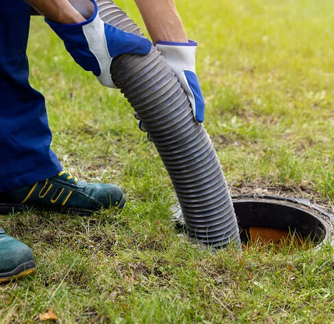
Sources of Concern: Runoff from agriculture and urban areas, failing septic systems, streambank erosion, and other sources (detailed in the full plan)
Get Involved
– Attend one of our public engagement events and share your thoughts about Table Rock Lake
– Volunteer for a shoreline cleanup
– Join a watershed group
– Stay informed with our monthly e-newsletter
Nutrient Trading Program from the James River Basin Partnership
James River Total Maximum Daily Load (TDML)
H2Ozarks (formerly as Ozarks Water Watch) Septic system demonstration program in the Crane Creek watershed.

Although watershed planning must be holistic, we also strive to find the most efficient and impactful strategies available. Some smaller areas, or subwatersheds, experience unique issues that contribute more pollutants than other areas. In the James River Watershed, 9 subwatersheds ranked highest for restoration activities based on water quality impairments, resource concerns, and nutrient and sediment loading. By finding and focusing on these high contributing areas, we can target our efforts where they will have the most impact.

Agricultural Management Practices – Planting vegetative buffers along streams and fields, managing rotational grazing, fencing livestock out of streams, designing alternative watering systems, exporting or managing litter spread on fields, and using crop rotations, cover crops, and no-till measures on soil.